

By Okoi Obono-Obla
From Biafra to Bonny: The Historical Transformation of a West African Coastline:
The Bight of Biafra came to an end in 1975 when the military regime of General Murtala Ramat Mohammed changed its name to the Bight of Bonny. This decision was apparently motivated by a desire to erase the legacy of the name “Biafra,” which had become associated with the attempt to break away the old Eastern Region of Nigeria from the Federal Republic of Nigeria. That secessionist quest, along with other varied and remote causes, triggered the tragic Nigerian Civil War from 6 July 1967 to 15 January 1970.
Bonny Island and the Bonny Local Government Area lie at the southern edge of Rivers State, Nigeria. Recently, however, a major ethnic group has attempted to redirect the memory of the Bight of Biafra, with partisans and activists claiming that the name “Biafra” originated from their ethnic nationality. Such claims are historically unfounded and amount to revisionism. Bonny is inhabited by the Ibani subgroup of the Ijaw ethnic nationality of Nigeria. Therefore, attempts to appropriate the defunct Bight of Biafra—renamed 51 years ago—are insensitive to the Ijaw people and, more broadly, to the Ogoni, Efik, Ekoi, Ibibio, Oron, and other ethnic nationalities of the Niger Delta. The historical reach of the Bight also extends to peoples such as the Bamileke, Douala, and Ejagham in Cameroon, as well as the Fang in Gabon. Indeed, the peoples of present-day Akwa Ibom, Cross River, Bayelsa, and Rivers States in Nigeria have a stronger historical claim to the legacy of the Bight of Biafra, though the name itself is now anachronistic due to its official change.

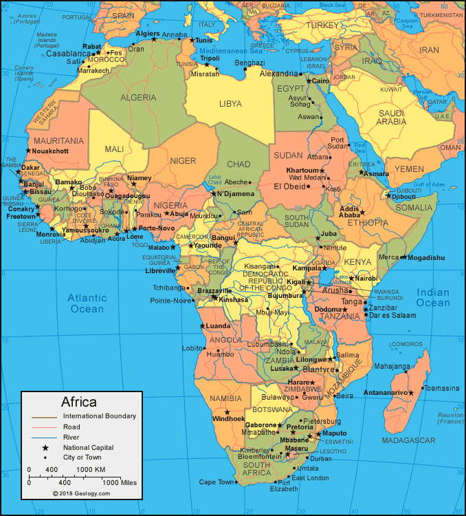
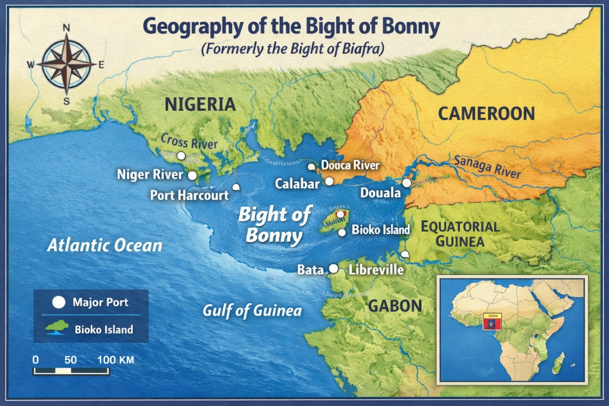
The Bight of Bonny (formerly the Bight of Biafra) is a bay of the Atlantic Ocean on the western coast of Africa, extending east and then south for about 370 miles (600 km) from the Nun outlet of the Niger River in Nigeria to Cape Lopez in Gabon. According to Britannica, it is the innermost bay of the Gulf of Guinea, bounded by southeastern Nigeria, Cameroon, Equatorial Guinea, and northwestern Gabon. It receives discharges from the Niger and Ogooué rivers, as well as the Cross, Sanaga, and many others. Within the Bight of Bonny are several islands, the largest of which is Bioko, belonging to Equatorial Guinea. Major ports on the bay include Malabo (Bioko), Port Harcourt and Calabar (Nigeria), Douala (Cameroon), Bata (Equatorial Guinea), and Libreville and Port-Gentil (Gabon).
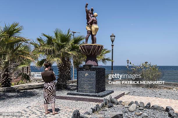
The original name “Bight of Biafra” was given by Portuguese explorers who arrived in the region in the 14th century. Between the 16th and 19th centuries, the Bight of Bonny became a major hub of the transatlantic slave trade, with extensive operations based mainly in the ports of Brass, Bonny, Opobo, and Old Calabar (now Calabar) in Nigeria.
Conclusion
The renaming of the Bight of Biafra to the Bight of Bonny in 1975 was not merely a geographical adjustment but a deliberate political act to erase the memory of Biafra. While the name “Biafra” carries historical weight, its appropriation by groups seeking to rewrite history disregards the diverse ethnic nationalities that shaped the region. The legacy of the Bight belongs collectively to the peoples of the Niger Delta and neighboring regions, even though the name itself has passed into history.